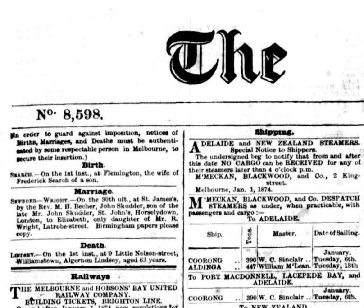
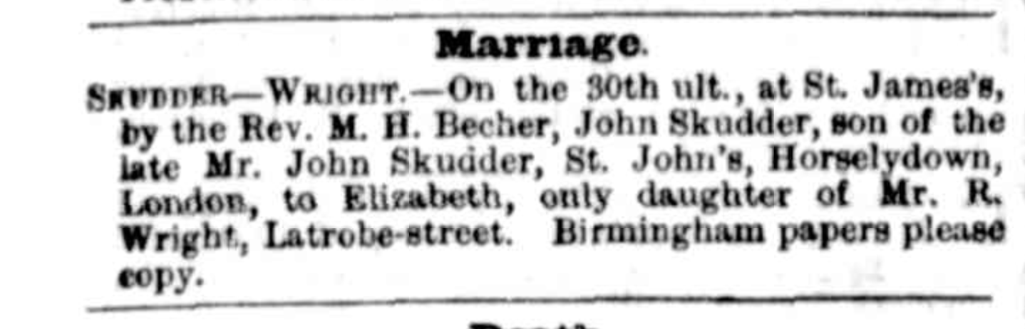
When Thomas Burgin and his wife Jane (Skudder) Burgin emigrated to America, they left behind at least two generations of history in the London neighborhood of, generally, Bermondsey, which sits in the Borough of Southwark, and more specifically, the church parish of St. John Horselydown.
For years I have dreamed of going back there, to retrace their steps and imagine as best I could a bit of their experience, but sadly little of the area as they knew it has survived. An absolutely massive fire in 1861 (more on this later), Victorian “progress,” the Blitz, and post-WWII reconstruction, have largely obliterated the streets and shops and the residences of their world. A visit today would reveal mostly modernist architecture, lots of steel and glass, and only a few of even the original place names. (I should perhaps mention that London’s world-famous Tower Bridge stands close by, quite hard to miss, but somewhat ironically had not yet been built when our ancestors lived here.)
With those caveats in place, I have been able to find their old neighborhood in a famous period map as well as on Google Maps, and compose a side-by-side comparison, a geographic “then vs. now,” for anyone who is curious.
Let’s start with the maps.
The top map here is a close-up detail of the Greenwood map of 1827, whole map available here, detail below available here. There is a less well photographed, but undivided/unsegmented, version here. The bottom map is a simple screen capture from Google Maps, taken in October of 2026. I have tried to scale them as identically as possible. If you continue on, I describe each of the locations tagged with a red dot.
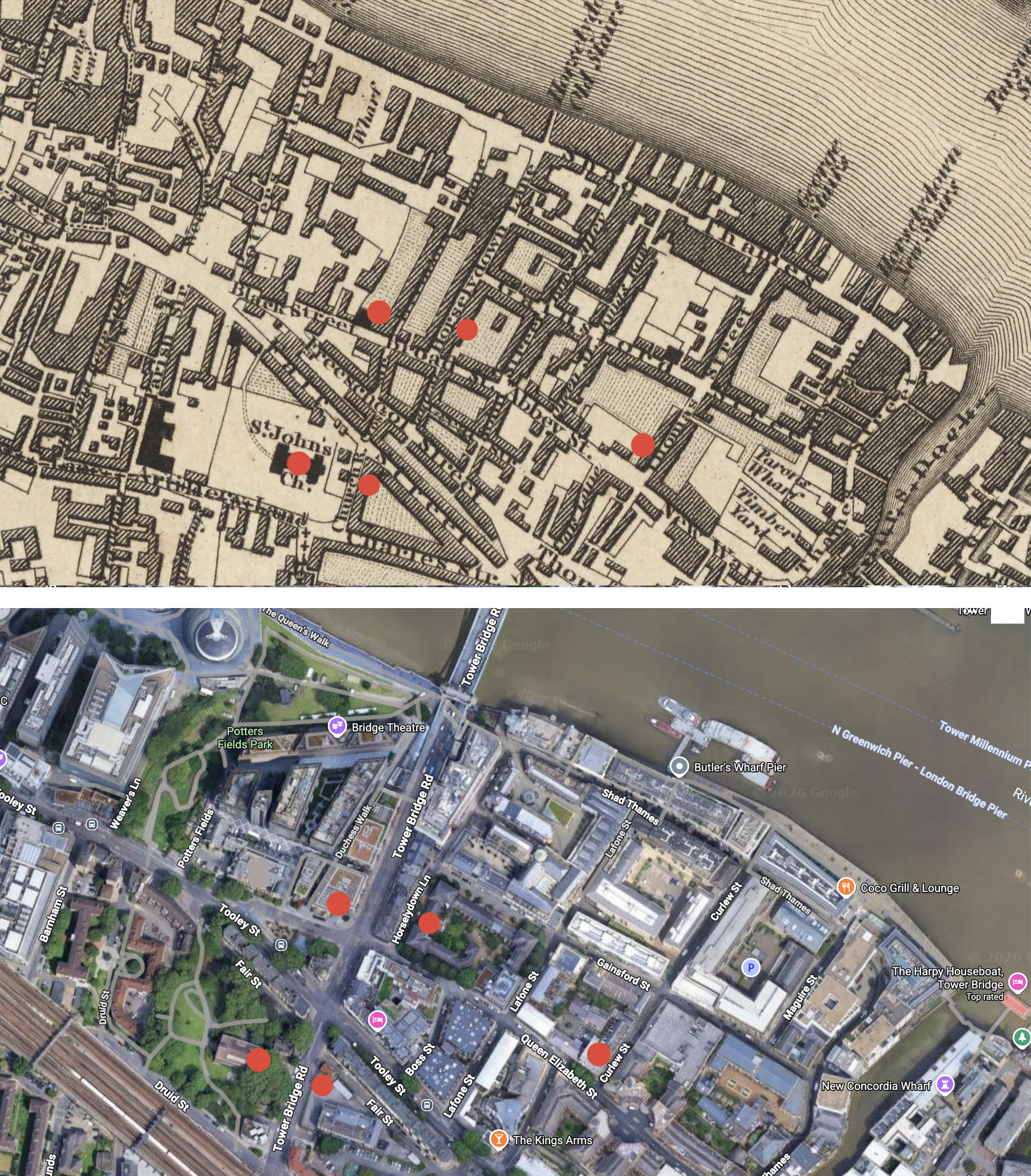
Here below is a concise guide to just a few of the historical sites, specifically mapped to modern London landmarks for a traveler on foot.
Continue reading